
BergeSeen Trail Stage 8
The departure point for this stage is the upper car park (Parkplatz 3) of the Postalm (1285 m). From the car park, the trail follows a flat meadow road to the north and arrives after 15 minutes at the Wiesleralm hut which serves food and drink.
Immediately after the hut, the trail forks to the right and continues along another flat meadow road in the direction of the Thoralm alpine meadow. After 700 metres, the route arrives at a trail marker. The trail ascends to the left along a narrow path over the meadow to a broad saddle (Thoralmsattel, 1492 m), which is the highest point of this stage.
From here, hikers can choose to make a rewarding detour to the nearby Thorhöhe summit. Heading east from the saddle, the trail follows a well-marked path, first ascending and then along level terrain, to the summit cross at an elevation of 1533 metres. Approximately 20 minutes are required for this ascent. A stunning vista is the pay-off for the short climb.
To the north, hikers have a view of the Schafberg Mountain and the lakes of Wolfgangsee, Mondsee and Irrsee. Even a small section of Lake Attersee is also visible. To the south, the impressive view encompasses the Postalm-Plateau, and in the distance, the Gamsfeld Mountain as well as the Tennengebirge Mountain Range can be seen.
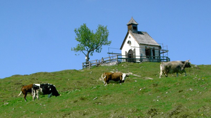
Back at the saddle – a hour of trail time is needed for the round trip detour to the Thorhöhe – the trail heads down a narrow meadow path to the private Höplihütte (alpine hut) and then winds through the sparse larch forest to the highest huts of the Niedergadenalm, which has an elevation of 1228 metres (beautiful views of the Rinnkogel and Gamsfeld Mountains).
From the alpine huts, the trail descends to the right over an alpine meadow to a pasture gate on the edge of the forest. The route continues across level terrain through the forest to a small saddle. The trail then goes along a steeper section and crosses a swampy area by way of a wooden bridge. Finally the trail arrives at the Schartenalm (no open huts), which lies at an elevation of 1051 metres (water source available).
The descent continues over broad alpine meadows with views of the craggy slopes of the Sparber Mountain to a meadow road and shortly thereafter to a hut with a spring. The trail then heads downhill along a comfortable forest path to the Gasthaus Mahdhäusl inn.
At the Gasthaus Mahdhäusl (Tel. +43 6137-7485, closed on Tuesdays), visitors can enjoy the adjacent wild animal park. From here, the trail follows the access road towards Lake Wolfgang. After crossing the main highway, the trail arrives at the well-known upland moor of ‘Blinklingmoos’. Following the shoreline of Lake Wolfgang, the route heads toward the town of Strobl which lies on the eastern end of the lake.
Many prominent figures have explored this region: nobles like Archduke Johann and Empress Elisabeth, scientists such as Friedrich Simony, poets and authors like Nikolaus Lenau, painters like Ferdinand Georg Waldmüller, musicians and composers such as Johannes Brahms. Did they ever think that hiking in the Salzkammergut might have no end? That they could tramp from one lake to the next and then onward to yet another? Day by day along the shores of crystal-clear waters? Week-long excursions through quiet valley forests, over sunny alpine meadows and up mountains fuelled by the anticipation of the next destination? Further information…
Safety Tips for Hikers
Admittedly, the landscape of the UNESCO World Heritage region of Hallstatt Dachstein Salzkammergut is the absolute pinnacle for hiking fans, mountain enthusiasts and nature lovers—unforgettable tours to incredibly beautiful mountain lodges and meadows, panorama views as far as the eye can see and cherished moments that will last a lifetime! However, you should remember that while hiking you might find yourself in high-alpine terrain. We’ve put together some resources to assist you: how to best prepare for your tour, recommended items for your backpack and steps to take in an emergency situation. Remember to always play it safe and enjoy your hiking adventure in the Salzkammergut!
Warning: Closed trails
Better to know before you go
Hiking trails in the Salzkammergut can be closed for various reasons. To help you prepare for your hike, we have set up a page with current road closures in the region. This will help you get to your destination without any detours or stress. Click here to visit the page...